
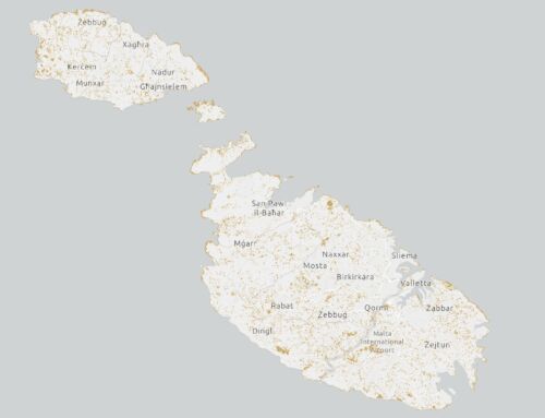
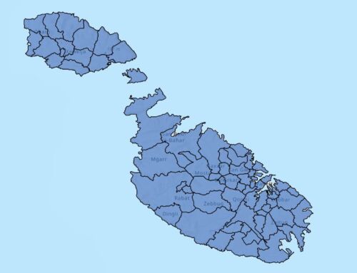
Scope
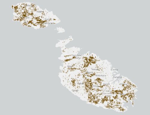
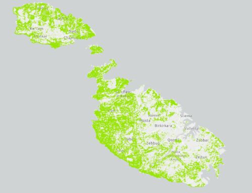
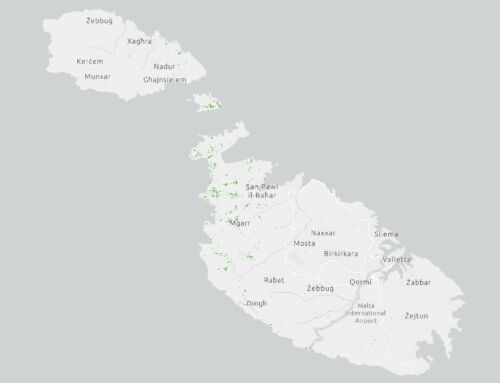
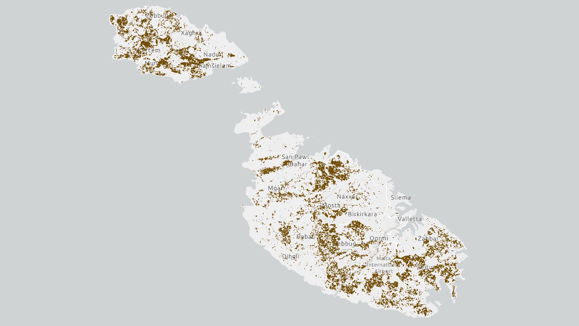
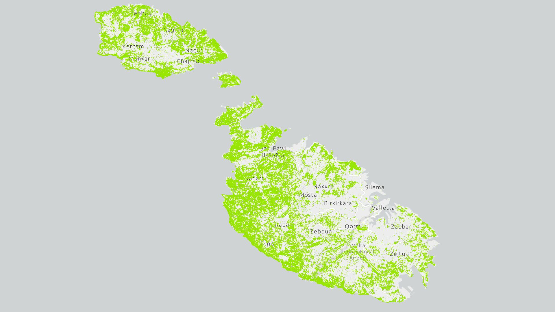
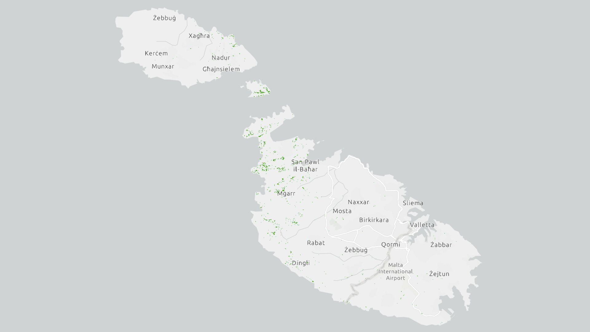
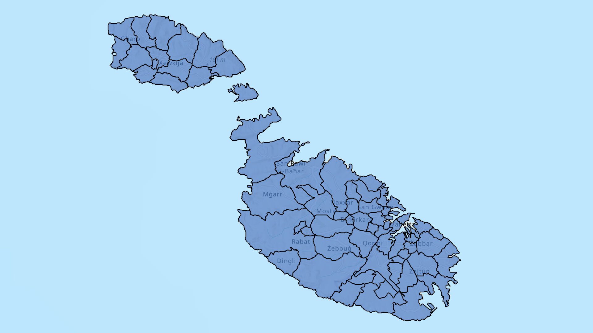
This EPSG:3857 – WGS 84 / Pseudo-Mercator Map processed by the Research Innovation Unit projects the Tree Canopy Cover for Malta deriving from the European Space Agency (ESA) Worldcover 2020 data product. The ESA WorldCover 2020 product is a yearly median and percentiles composites at 10m resolution, derived from the Copernicus Sentinel-1 and Sentinel-2 archives.
Monitoring land cover change is essential in managing the Malta’s natural capital such as soils, trees, water resources and biodiversity, especially in view of the EU Mission Adaptation to Climate Change and the European Commission Nature Restoration Law, amongst other climate mandates. This land cover classification including other similar datasets are salient to our ongoing reporting towards resilience to the impacts of climate change and in improving the well-being of the people residing in the Maltese islands.
Free for public use against citation as per credits.
Map Source
- Recommended – online as a featured web layer from https://arcg.is/5nKHG
- Direct download in form of a shapefile from here
Queries and suggestions may be sent by email to info@riu.gov.mt
Right of Use
This map is free for public use, kindly cite source “Research Innovation Unit (https://riu.gov.mt)”