
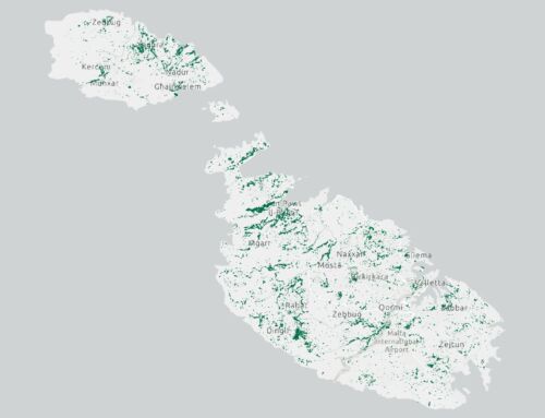
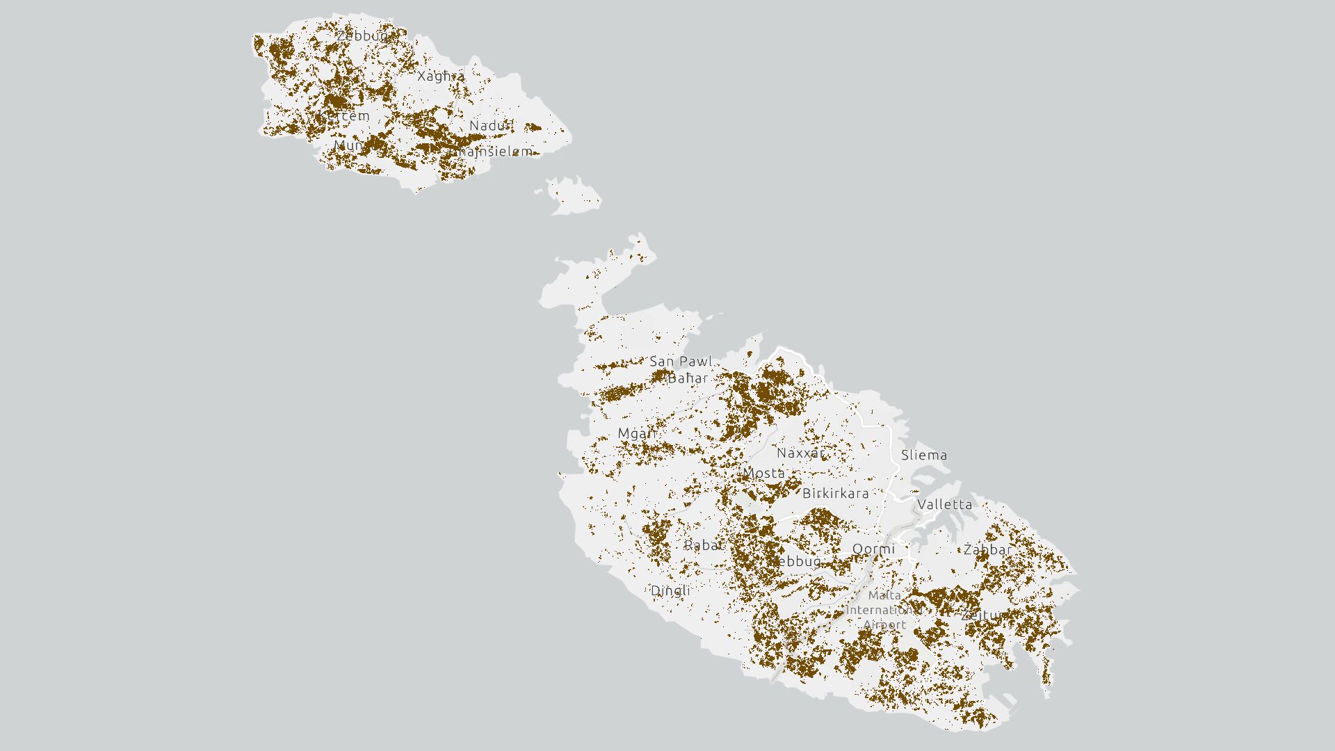
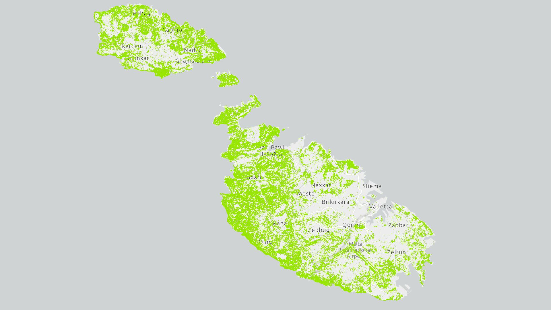
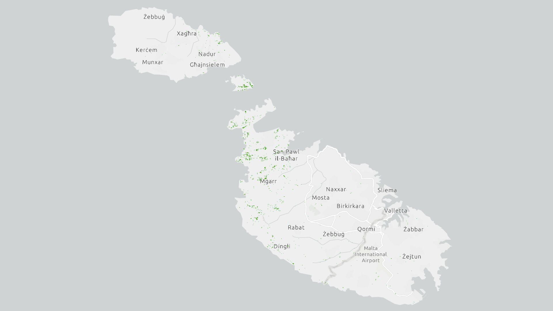
Scope
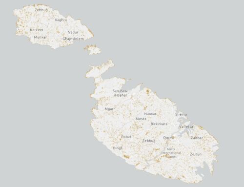
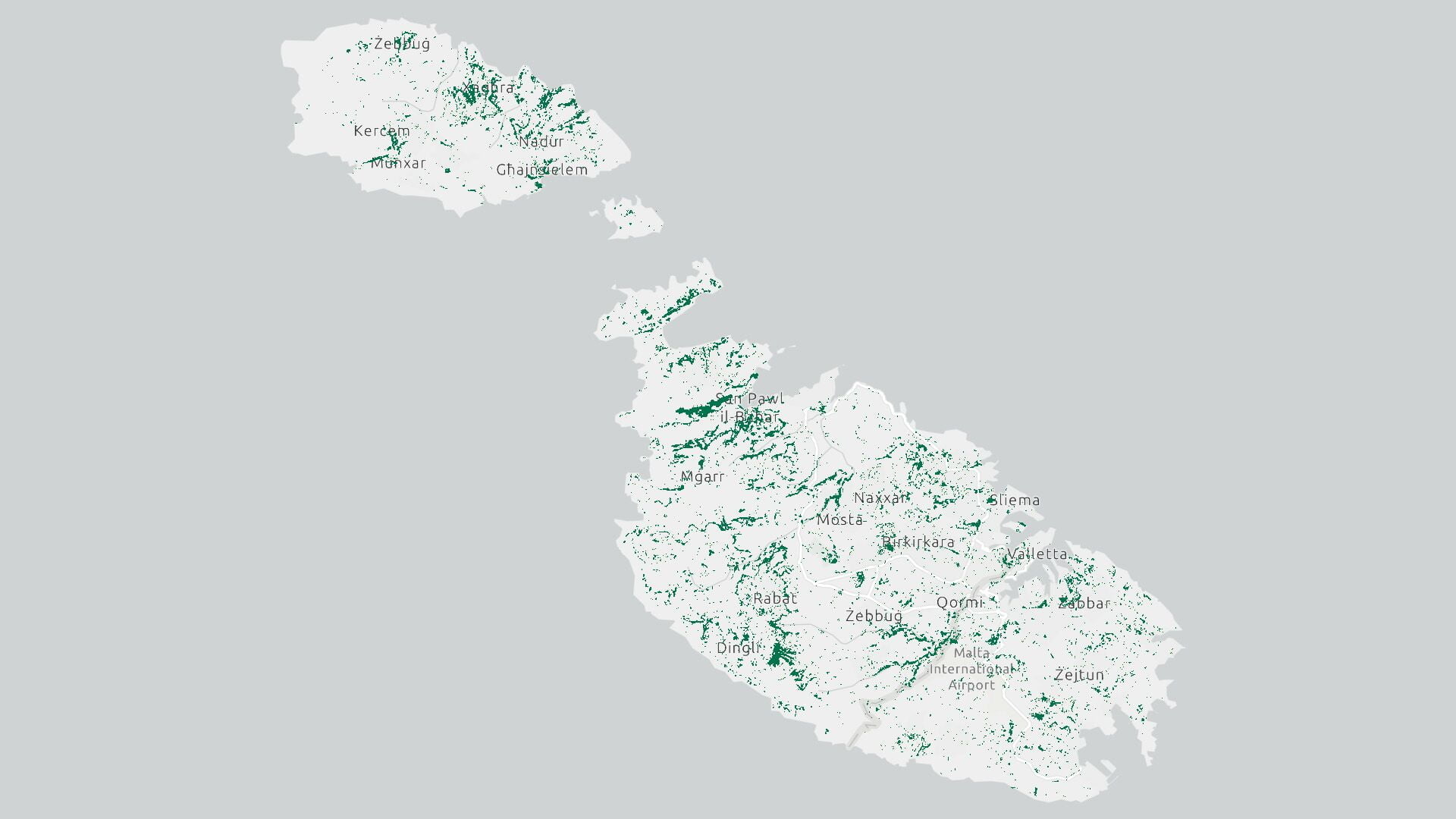
This EPSG:3857 – WGS 84 / Pseudo-Mercator of Malta is the latest map by the Research Innovation Unit. It is intended to serve as the defacto map for the Maltese Islands consisting of accurate locality numbering, locality names (Maltese and Latin Names), locality boarders, regional groupings as per the 2019 reform of Chapter 363 of the Laws of Malta.
Attributes
The attribute table contains accurate data and statistical terms as follows:
- Locality numbering
- Locality names both in Maltese and Latin Names
- Locality boundaries
- Regional boundaries
- NUTS3 code per locality
- LAU code per locality
- Greater City ID
- Greater City Name
- Functional urban areas (FUA) ID
- Functional urban areas (FUA) Name
- Population as at the National Census 2021
Map usage
It is recommended that the map is used as an online feature layer directly from ESRI. The recommendation is made so that your layer will be automatically updated as we progress with future revisions of this map. However, those wishing to download the shapefile directly may do so for the provided download link. We ask those that download the shapefile to give due credits as per credit mentions listed on this description page.
Map Source
- Recommended – online as a featured web layer from https://arcg.is/1Cvirq
- Direct download in form of a shapefile from here
Planned updates
The Research Innovation Unit plans to update the shapefile at coast-line level in the coming update.
Queries and suggestions may be sent by email to info@riu.gov.mt
Right of Use
This map is free for public use, kindly cite source “Research Innovation Unit https://riu.gov.mt”